The History of Imray, Laurie, Norie & Wilson Ltd.
This is the maritime history and legacy of Imray, Laurie, Norie & Wilson Ltd., the legendary chartmakers who mapped the world's oceans.
Below is the history of the four legendary companies - James Imray & Son, Richard Laurie & Co., J.W. Norie & Co., and C. Wilson & Co. - whose merger established Imray, Laurie, Norie & Wilson Ltd.
Source: Google Books
Table of Contents
James Imray & Son Ltd. History and LegacyJohn William Norie and the Legacy of J.W. Norie & Co.Richard Holmes Laurie and the Legacy of Richard Laurie & Co.Charles Wilson and the Legacy of C. Wilson & Co.For over a century, Imray, Laurie, Norie & Wilson Ltd. has been a beacon for mariners navigating the vast and unpredictable seas. Born from the merger of four historic chart-publishing giants, the company carried forward a legacy of precision, exploration, and innovation. From the age of wooden ships to modern digital navigation, their maps and charts have guided sailors safely through uncharted waters, shaping the course of maritime history. What began as individual enterprises driven by passionate hydrographers and mapmakers evolved into a powerhouse of nautical cartography, ensuring that the knowledge of the seas was never lost but constantly refined and expanded.
- 1765 – William Heather takes over the chart publishers Mount and Page and establishes the Naval Academy and Naval Warehouse at Leadenhall Street, London.
- 1795 – Naval Academy and Naval Warehouse begins providing navigational instruments, charts, and books on navigation.
- 1803 – John William Norie publishes A Complete Set of Nautical Tables and later founds J.W. Norie & Co.
- 1813 – J.W. Norie & Co. is officially established, succeeding William Heather.
- 1818 – Following the death of James Whittle, Richard Holmes Laurie takes over Whittle & Laurie, renaming it R.H. Laurie & Co.
- 1836 – James Imray partners with Robert Blanchford to form Blanchford & Imray.
- 1846 – James Imray becomes the sole proprietor and renames the firm James Imray & Son.
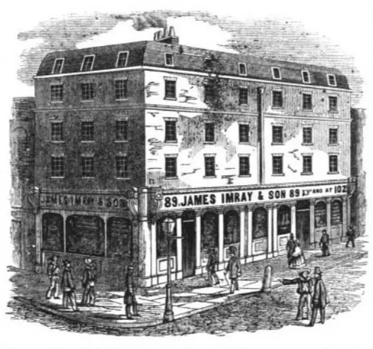
- 1850 – James Imray & Son moves to 102 Minories, London, expanding its chart-publishing operations.
- 1870 – James Imray dies; his son, James Frederick Imray, takes over the company.
- 1899 – James Imray & Son merges with J.W. Norie & Wilson to form Imray, Laurie, Norie & Wilson Ltd.
- 1904 – The firm acquires the remnants of Norie & Wilson, solidifying its position as the leading private chart publisher in the UK.
- 20th Century – Imray, Laurie, Norie & Wilson Ltd. continues as the premier private publisher of nautical charts, competing with the British Admiralty.
- Present Day – The company operates under the name Imray, maintaining its legacy in nautical chart publishing and navigation.
Source: Google Books
Below is the history of the four legendary companies—James Imray & Son, Richard Laurie & Co., J.W. Norie & Co., and C. Wilson & Co.—whose merger established Imray, Laurie, Norie & Wilson Ltd., a name that remains synonymous with maritime excellence.


James Imray & Son Ltd. History and Legacy
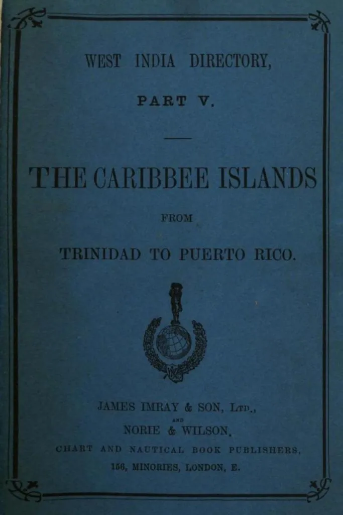
For over a century, James Imray & Son Ltd. was synonymous with nautical cartography and maritime publishing. Based in London, the firm provided seafarers with indispensable navigational tools, from meticulously crafted charts to comprehensive sailing directions. With origins tracing back to the 18th century, James Imray & Son became a trusted authority in hydrography, ultimately merging with other notable firms to form Imray, Laurie, Norie & Wilson Ltd. in 1899. This article explores the company’s history, its contributions to navigation, and its enduring legacy in maritime charting.
Source: Google Books
James Imray: The Man Behind the Charts
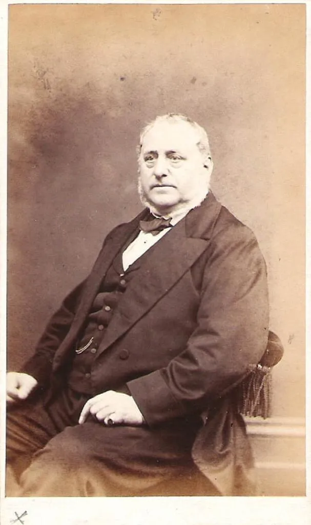
James Imray was born on May 16, 1803, in Spitalfields, England, the eldest son of a Jacobite dyer also named James. Unlike his father, Imray pursued a career in publishing and nautical chart production. Initially, he apprenticed with William Lukyn, a stationer, before setting up his own business as a bookseller and bookbinder at 116 Minories Street.
Source: The Streatham Society
In 1836, Imray partnered with nautical chart publisher Robert Blanchford, forming Blanchford & Imray. At the time, the firm struggled to compete with more established chart publishers like Norie and Laurie. However, with Imray’s business acumen, the company began its ascent. By 1846, he had bought out Blanchford’s share and rebranded the company under his own name.
In 1850, he relocated to 102 Minories, expanding the business significantly. By 1854, his son James Frederick Imray (1829–1899) joined the company, leading to another rebranding: James Imray & Son. Under their leadership, the firm became the largest and most prominent producer of blue-back charts—a type of nautical chart backed with blue paper, widely used between 1750 and 1920.

Source: The Streatham Society
Unlike government-issued maps from institutions like the British Admiralty and U.S. Coast Survey, Imray’s charts were private ventures, compiled from various sources, including government publications, commercial pilots, and older charts dating back to the 17th century.
Pioneering Nautical Publications
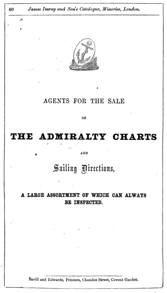
James Imray & Son revolutionized the maritime industry with their precision-crafted navigational aids. Their charts were widely regarded for their accuracy and reliability, catering to the needs of sailors navigating the Atlantic, Pacific, and Indian Oceans. The firm also published numerous pilot books and sailing directions, which became essential for maritime navigation.
Source: Google Books
In addition to charts, the firm produced sailing directions for key global trade routes. James Imray was quick to capitalize on economic and historic events, publishing specialized charts like "Cotton Ports of Georgia" and "Rice Ports of India" to cater to booming industries. He also responded to the 1849 California Gold Rush, issuing navigational guides for vessels heading to the American West Coast.
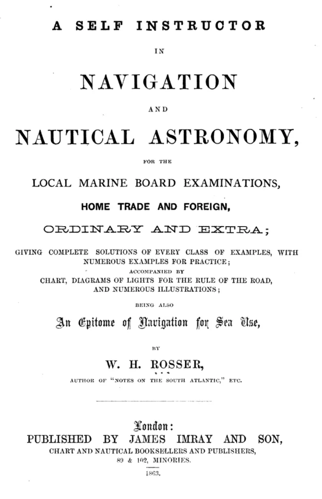
Key Publications: Self-Instructor in Navigation and Sailing Directions
One of their most notable works was A Self-Instructor in Navigation and Nautical Astronomy, first published in 1863 by W.H. Rosser. This book provided an invaluable resource for mariners, offering theoretical and practical guidance on navigation and nautical astronomy.
Source: Google Books
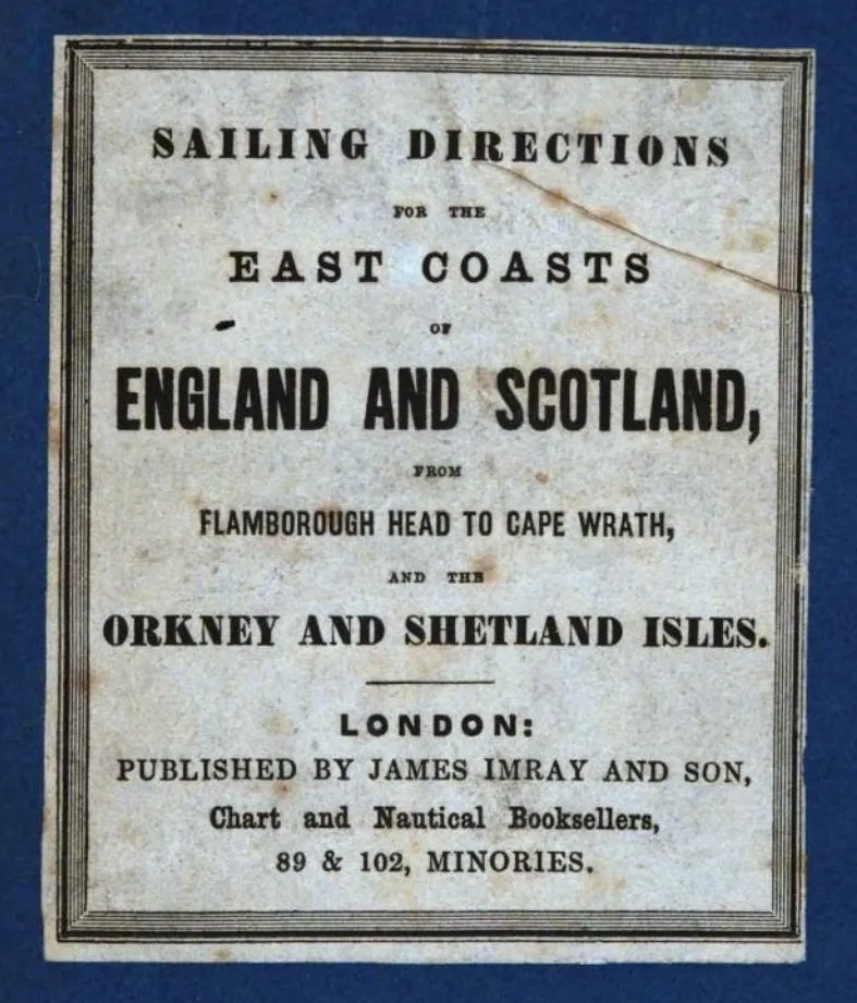
Another key publication was Sailing Directions for the East Coasts of England and Scotland, which guided ships safely through the treacherous waters of the British Isles.
Source: Google Books
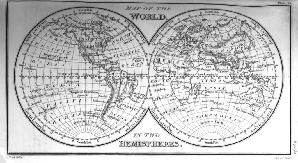
Mapping the World: Nautical Charts
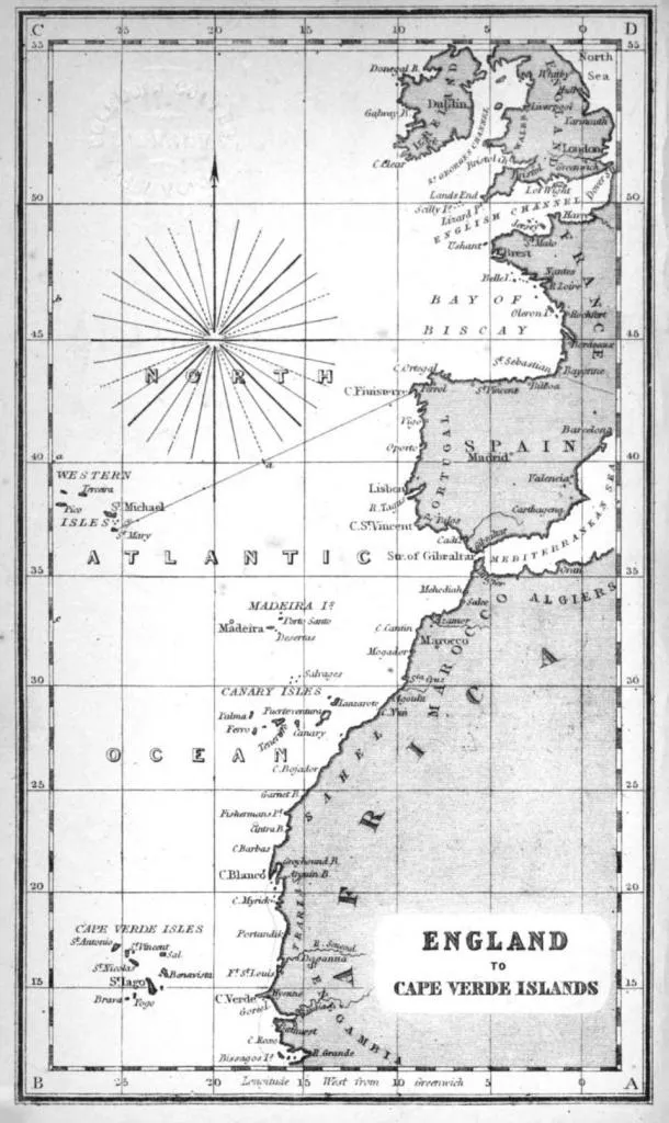
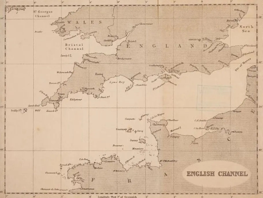
James Imray & Son was instrumental in producing detailed maps and charts that covered major maritime routes. One such example is the England to Cape Verde Islands map, which provided crucial navigation details for sailors traveling between Europe and West Africa.
Source: Google Books
The Decline and Merger
James Imray passed away on November 15, 1870, marking a turning point for the company. His son, James Frederick Imray, though skilled in authoring pilot books, had little expertise in chartmaking. As a result, the firm ceased producing new charts and instead focused on revising older ones.
By the late 19th century, governmental institutions like the British Admiralty had become dominant in chart publishing, offering cheaper and more up-to-date materials than private firms. By 1899, James Imray & Son was struggling to remain competitive and merged with Norie & Wilson, another firm in decline. In 1904, Laurie & Co. acquired the merged entity, forming Imray, Laurie, Norie & Wilson Ltd., a name still recognized in the field of nautical publishing today.
Additional Historical Prints
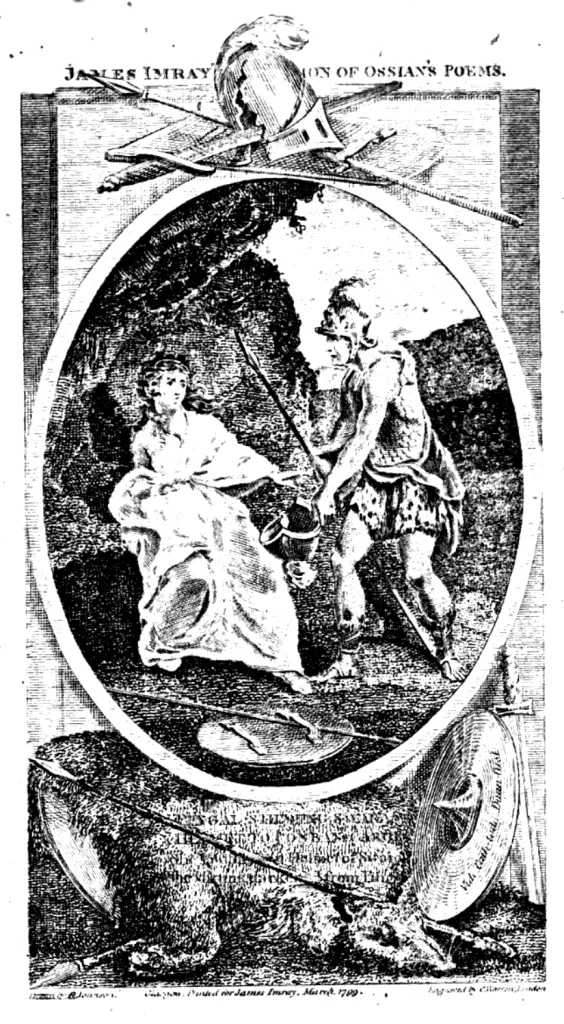
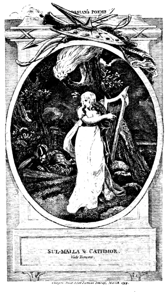
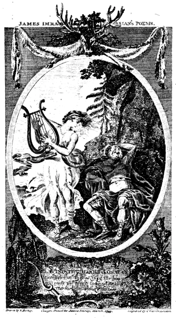
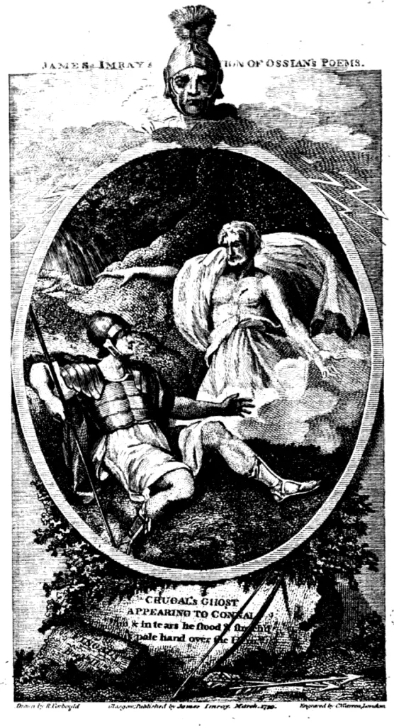
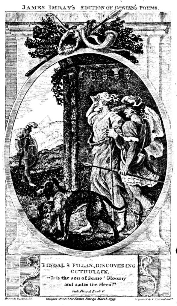
James Imray & Son also had a connection to artistic and literary publishing, as demonstrated by their 1799 edition of Ossian’s Poems. These illustrated works, although not directly related to nautical charting, showcase the company's broader publishing interests.
Source: Google Books
Source: Google Books
Source: Google Books
Source: Google Books
Source: Google Books
Legacy and Influence
James Imray & Son’s legacy in maritime charting is undeniable. Their dedication to precision and reliability helped shape modern navigation, and their charts remain collectors’ items today. The firm’s merger into Imray, Laurie, Norie & Wilson Ltd. ensured that their expertise continued to serve mariners well into the 20th and 21st centuries.
Source: Google Books
For history and antique enthusiasts, James Imray & Son represents an era when meticulous craftsmanship and scientific progress guided sailors safely across the world’s oceans. Their legacy is a testament to the vital role of nautical cartographers in maritime history.
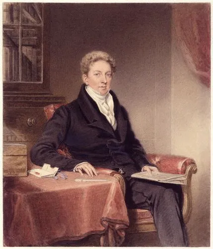
John William Norie and the Legacy of J.W. Norie & Co.
John William Norie was one of the most influential figures in 19th-century nautical publishing. A mathematician, hydrographer, and cartographer, he played a crucial role in shaping maritime navigation. His most renowned work, Epitome of Practical Navigation (1805), became a staple for sailors and navigators worldwide. Through J.W. Norie & Co., he continued the tradition of publishing nautical charts, books, and instruments that remained in use for generations. This article explores his contributions, the success of his publishing firm, and his lasting impact on maritime history.
Early Life and Career of John William Norie
Source: Google Books
John William Norie was born in London on July 3, 1772. From an early age, he exhibited a keen interest in mathematics and navigation, which led him to work for William Heather, a well-established nautical publisher. Heather had taken over the famous Mount and Page chart-publishing house in 1765 and later opened the Navigation Warehouse and Naval Academy on Leadenhall Street in 1795.
Norie's mathematical prowess and knowledge of navigation helped him rise within the company, eventually taking over the Naval Warehouse after Heather’s retirement. By 1813, he had founded J.W. Norie & Company, marking the beginning of an era of significant advancements in nautical chartmaking and publishing.
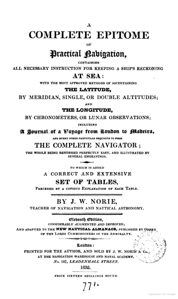
The Epitome of Practical Navigation: A Mariner’s Bible
Source: Google Books
One of Norie’s most significant achievements was the publication of Epitome of Practical Navigation in 1805. This book became the definitive manual for sailors, covering essential topics such as latitude and longitude calculations, celestial navigation, and ship reckoning techniques. The book was widely adopted and went through numerous editions due to its practical utility.
Norie’s Epitome was so influential that it found mentions in literature, including Jack London’s novel Martin Eden and C.S. Forester’s Horatio Hornblower series. It was not just a textbook but a vital survival tool for mariners.
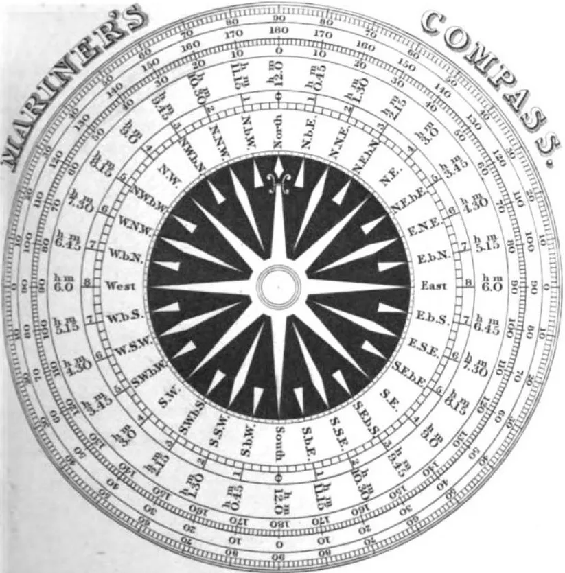
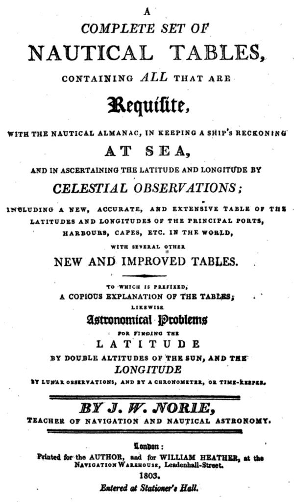
Nautical Tables and Instruments
Source: Google Books
Apart from his famous Epitome, Norie compiled and improved nautical tables, essential for celestial navigation. These tables provided accurate latitude and longitude calculations, using chronometers, meridian altitudes, and lunar observations. One such publication was A Complete Set of Nautical Tables, first printed in 1803.
Source: Google Books
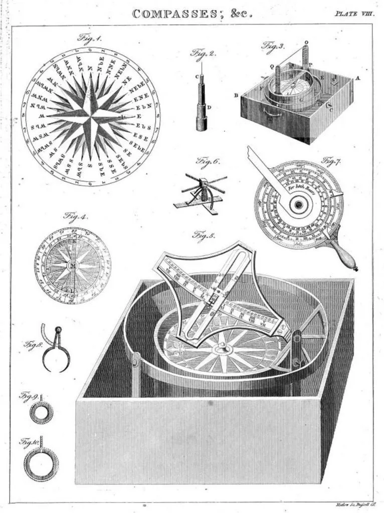
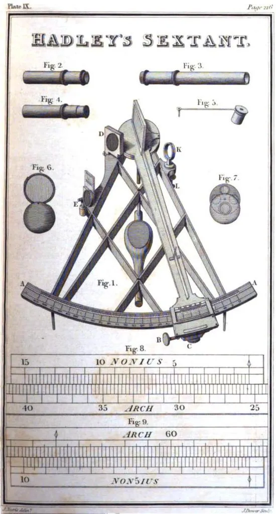
To complement his navigational books, Norie also published detailed illustrations of important maritime instruments.
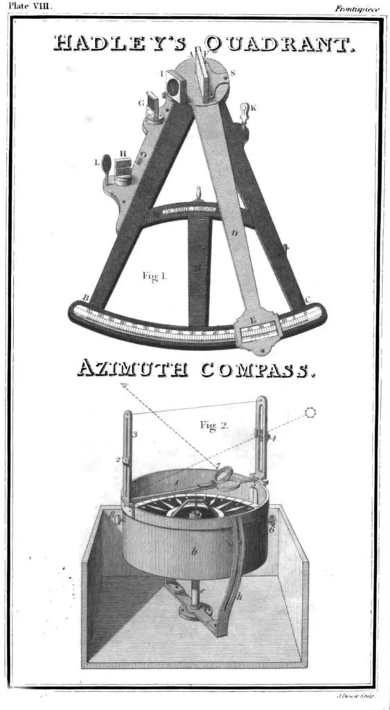
Source: Google Books
J.W. Norie & Co.: A Leading Nautical Publisher
After establishing J.W. Norie & Co. in 1813, Norie continued to expand his influence in maritime publishing. His firm became one of the most respected producers of nautical charts and books, serving both the Royal Navy and commercial shipping. Norie’s company produced detailed maritime charts, covering major global trade routes and strategic naval passages.
Source: Google Books
Norie’s influence extended beyond his own lifetime. His company later became Norie & Wilson after his death in 1843 and continued to dominate the market.
The Later Years and Legacy
John William Norie passed away on December 24, 1843, leaving behind a legacy that would endure for centuries. His company continued to thrive under Charles Wilson, eventually merging with James Imray & Son in 1903 to form Imray, Laurie, Norie & Wilson Ltd., a company that still publishes nautical charts today.
Norie’s contributions to navigation were not just technical but also cultural. His books and charts were referenced in literature, and his impact on maritime history remains unparalleled.
Source: Google Books
For collectors and historians, Norie’s publications are prized artifacts, representing an era when paper charts and celestial navigation ruled the seas. His attention to mathematical precision and practical navigation helped countless sailors navigate treacherous waters and laid the groundwork for modern maritime cartography.
John William Norie was more than just a publisher; he was a visionary in maritime navigation. His work bridged the gap between theoretical mathematics and practical seafaring, ensuring that navigators had reliable tools for their voyages. His company’s transformation into Imray, Laurie, Norie & Wilson Ltd. speaks to the lasting importance of his contributions.
Richard Holmes Laurie and the Legacy of Richard Laurie & Co.
Richard Holmes Laurie (1777–1858) was one of the most prominent publishers of nautical charts in 19th-century Britain. His work continued the legacy of chartmaking established by his father, Robert Laurie, and later expanded under the business name R. H. Laurie. Through innovation and an extensive catalog of maps, Richard Holmes Laurie played a crucial role in providing essential navigation tools to mariners worldwide.
Early Life and the Foundations of a Legacy
Richard Holmes Laurie was born in Fleet Street, London, on December 2, 1777. He was the son of Sir Robert Laurie, a respected artist and engraver. Following his father’s retirement in 1812, Richard entered into a partnership with James Whittle, forming the firm Whittle & Laurie. After Whittle’s death in 1818, Richard took full control, renaming the business R. H. Laurie.
The firm specialized in producing high-quality nautical charts, a crucial resource in an era when maritime navigation was fundamental to global trade and exploration. Laurie’s business thrived by incorporating the latest geographical data and improving the accuracy of existing charts.
A Leader in the Nautical Chart Industry
Under Richard Holmes Laurie’s leadership, the firm expanded significantly, surpassing earlier competitors like Norie and Wilson. Laurie employed some of the most skilled hydrographers and cartographers of the time, including John Purdy, Alexander Findlay, and De la Rochette, to ensure the accuracy and quality of his charts.
Laurie’s business rose to prominence by focusing on trade-specific maps. Unlike government-issued Admiralty charts, which became widely available in the mid-19th century, Laurie’s maps catered to commercial interests, particularly those involved in transatlantic trade and colonial routes.
Scientific Contributions to Navigation
Source: Google Books
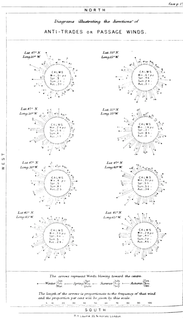
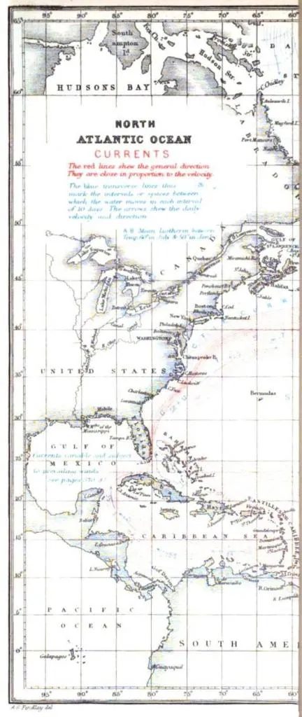
One of Laurie’s most significant contributions was the development of charts that detailed ocean currents and wind patterns, crucial for efficient and safe navigation. His charts were based on extensive data collected from naval expeditions and scientific observations.
Source: Google Books
The Decline of Private Chart Publishing
Despite Laurie’s innovations, the rise of government-produced Admiralty charts posed a challenge to private publishers. By the late 19th century, official charts became more accessible and reliable, reducing demand for privately issued maps. R. H. Laurie’s business declined as a result, though his maps remained valuable for historical reference and collectors.
Source: Google Books
Laurie’s Legacy in Modern Navigation
Following Laurie’s death in 1858, the business was entrusted to Alexander George Findlay, who continued publishing charts under the Laurie name. However, with increasing competition from government maps, the firm eventually ceased operations. Today, Laurie’s charts are prized by collectors and historians, serving as valuable artifacts from the golden age of maritime navigation.
Laurie’s meticulous approach to chartmaking ensured that his work endured beyond his lifetime. His contributions helped shape modern hydrography and left an indelible mark on the history of navigation.
Richard Holmes Laurie’s work remains a significant part of nautical history, providing insight into the evolution of maritime cartography and the commercial impact of private chartmakers. His maps continue to be studied and appreciated by historians and maritime enthusiasts alike.
Charles Wilson and the Legacy of C. Wilson & Co.
Charles Wilson (1807 – May 16, 1882) was a British-Indian publisher of nautical charts and maps who played a pivotal role in the evolution of maritime cartography. Born in Lucknow, India, Wilson had an intriguing heritage—his mother, Hoosainee Begum, was an Indian princess, the daughter of the Nizam of Ashrafabad. His father, Lieutenant-Colonel William Wilson, ensured that Charles received an education in England, where he later built a career that left a lasting mark on the world of navigation.
From the Wine Trade to Maritime Cartography
Wilson’s early career had little to do with mapmaking. He initially worked in the wine trade, but in 1838, he joined the renowned chart-publishing firm J.W. Norie & Co. At the time, John William Norie had already taken on a partner named George Wilson, who happened to be Charles's nephew. When Norie retired in 1840, Charles Wilson took over the firm and rebranded it as Charles Wilson (Late J.W. Norie and Wilson).
The Expansion of Wilson’s Publishing
As the owner of one of London's most significant nautical publishing houses, Wilson dedicated himself to producing precise and up-to-date charts for sailors and explorers. His work was crucial during a period of rapid expansion in global maritime trade. Wilson’s maps, like those of his predecessors, helped navigators chart safe courses through dangerous waters, ensuring smoother voyages across the world's oceans.
In 1846, Charles Wilson married Jane Arabella Bingle, further cementing his roots in Britain. Under his leadership, the firm thrived, adapting to new geographic discoveries and advancements in hydrography.
A Lasting Legacy Through Mergers
Wilson passed away in 1882, leaving his business in the capable hands of his sons, George and William Wilson. The brothers continued their father’s work, but as competition from official Admiralty charts increased, private chart publishers had to consolidate to survive. In 1899, the Wilson brothers merged their firm with J. Imray & Sons, creating Imray, Laurie, Norie & Wilson Ltd., a name that continues to be recognized in maritime chart publishing to this day.
Wilson’s Contribution to Nautical Cartography
Though Charles Wilson’s name may not be as widely recognized as some of his predecessors, his role in maintaining and expanding the Norie firm was crucial in preserving the legacy of private nautical chartmaking. His work ensured that mariners of the 19th century had access to accurate and detailed navigation aids, which contributed to the safety and success of global shipping.
Share this article